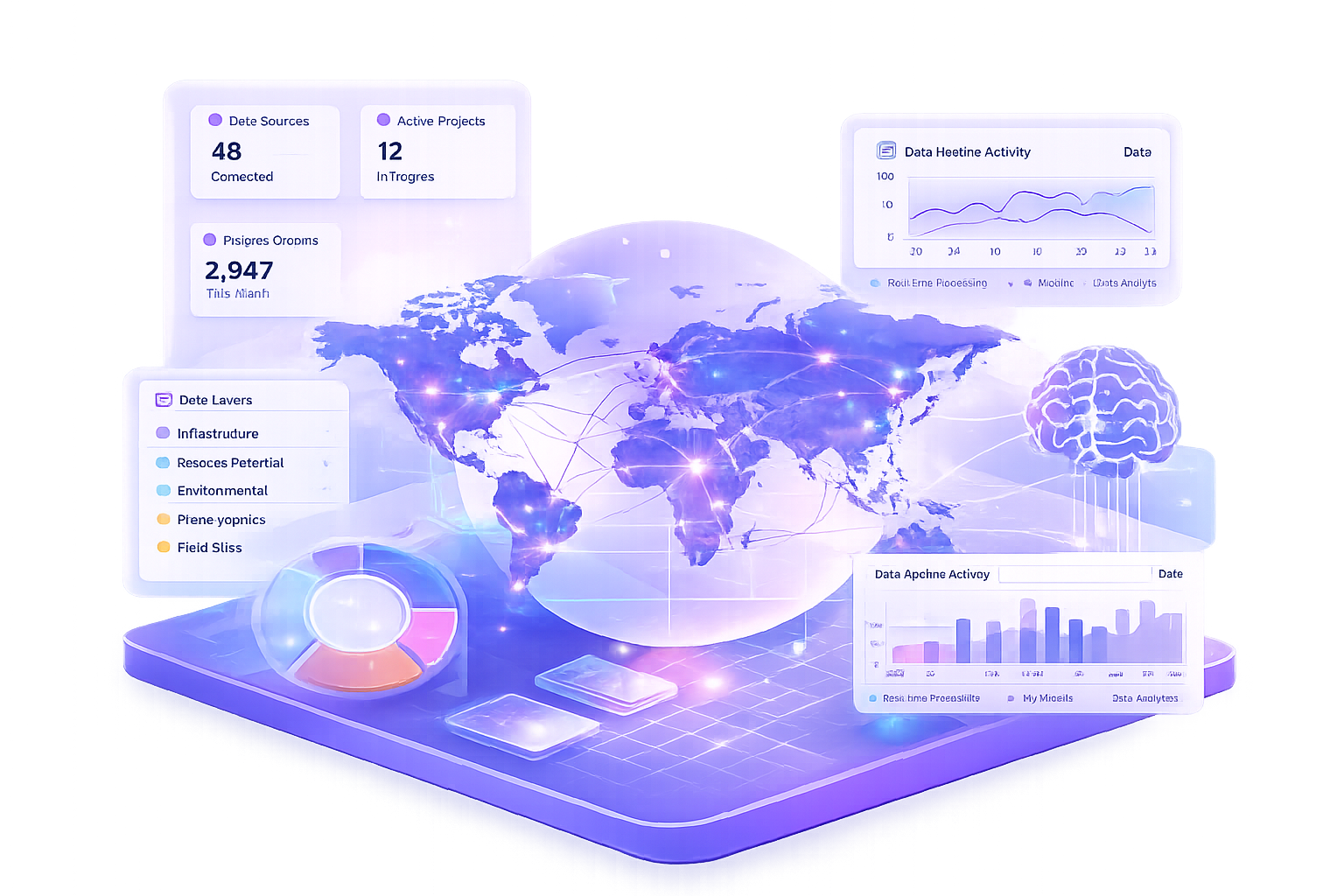
We transform complex data into actionable insights for policy, development, investment, and strategic planning across sectors.

Problem:
Organizations struggle to turn large volumes of data into clear, actionable decisions.
Solution:
We design AI-driven data systems that transform complex datasets into insights for planning, evaluation, and strategy.
Output:
Dashboards, data pipelines, and decision-support tools.
Problem:
Evidence is often fragmented, making it difficult to measure impact and inform policy.
Solution:
We build data and AI systems to collect, process, and analyze evidence for monitoring and evaluation.
Output:
Evaluation dashboards, automated reporting tools, and evidence synthesis.

Problem:
Mineral exploration data is complex and difficult to interpret for decision-making.
Solution:
We use AI and geospatial analysis to identify high-potential mineral zones.
Output:
Prospectivity maps, ranked targets, and technical reports.

Problem:
Climate, environmental, and infrastructure risks are difficult to assess across locations.
Solution:
We integrate geospatial data and AI models to analyze risk and support planning decisions.
Output:
Risk maps, early warning indicators, and suitability analysis.

Spatial analysis and prospectivity modelling to support exploration, infrastructure planning, and resource management.
Explore →
Data systems and machine learning that transform complex datasets into structured, decision-ready insights.
Monitoring and evaluation approaches that turn data into evidence for policy, programmes, and strategic decisions.
Explore →
Experience delivering data, AI, and evaluation systems for international organizations including UNICEF and UN agencies.
Secured and contributed to funded projects supported by international organizations.
Published research in AI-driven mineral prospectivity (Journal of Applied Geophysics).
IEEE Senior Member (Institute of Electrical and Electronics Engineers).
Recipient of competitive awards recognizing individual contribution and innovation.
Over 10 years of experience in data analytics, AI, and geospatial intelligence.
We go beyond analysis — we deliver decision-ready intelligence that integrates geospatial insight, data systems, and real-world application.

We don’t just deliver data, we deliver insights designed to support real decisions, from exploration to strategy and operations.

We combine geospatial analysis, data science, and evaluation methods into a unified approach — not fragmented tools.

Our solutions are built to scale, from one-off analysis to full platforms that your team can use independently.

We prioritize clarity, documentation, and reproducibility, ensuring your results can be trusted, understood, and reused.
We follow a clear, structured process to understand your needs, design effective solutions, and deliver measurable results.

We clarify your goals, context, and data requirements to define the right problem and approach.

We integrate data, apply analytical methods, and design tailored solutions aligned with your needs.

We deliver practical outputs, tools, and ongoing support to ensure insights are applied effectively.
We provide tools and analytical solutions across data, geospatial, and risk domains.

AI-powered tools for processing, analyzing, and extracting insights from qualitative and structured data.
DataLab – qualitative analysis
Quality assurance for reports
Automated summarization
Mainstreaming analysis
Structured data extraction

We integrate data, apply analytical methods, and design tailored solutions aligned with your needs.
Mineral prospectivity mapping
Geological & structural analysis
Geophysical data integration
Infrastructure mapping
Multi-layer GIS visualization

We deliver practical outputs, tools, and ongoing support to ensure insights are applied effectively.
Environmental risk assessment
Mining & exploration risk
Oil & gas project evaluation
Multi-criteria decision modelling
Scenario analysis
Our work is grounded in rigorous scientific research, published in leading international journals.

Scenario analysis
Authors: Gwaliwa P. Mashaka, Athanas S. Macheyeki
This study presents an AI-driven framework for mineral prospectivity mapping, integrating geophysical, geological, and spatial data to identify high-potential zones. By combining machine learning with geospatial analysis, the approach improves prediction accuracy and supports more informed, data-driven decision-making in mineral exploration. The results demonstrate how advanced analytics can enhance efficiency, reduce uncertainty, and guide strategic resource development.
Key Highlights
Hybrid GIS–ML framework for Cu–Au prospectivity mapping
Random Forest achieved superior performance
Convergence analysis identifies high-confidence targets
A selection of platforms we have built and deployed across evaluation, AI, geospatial, and mineral exploration domains.


.png)

Thought leadership, case studies, and insights from the world of geospatial intelligence and AI-driven analytics.
April 7, 2026
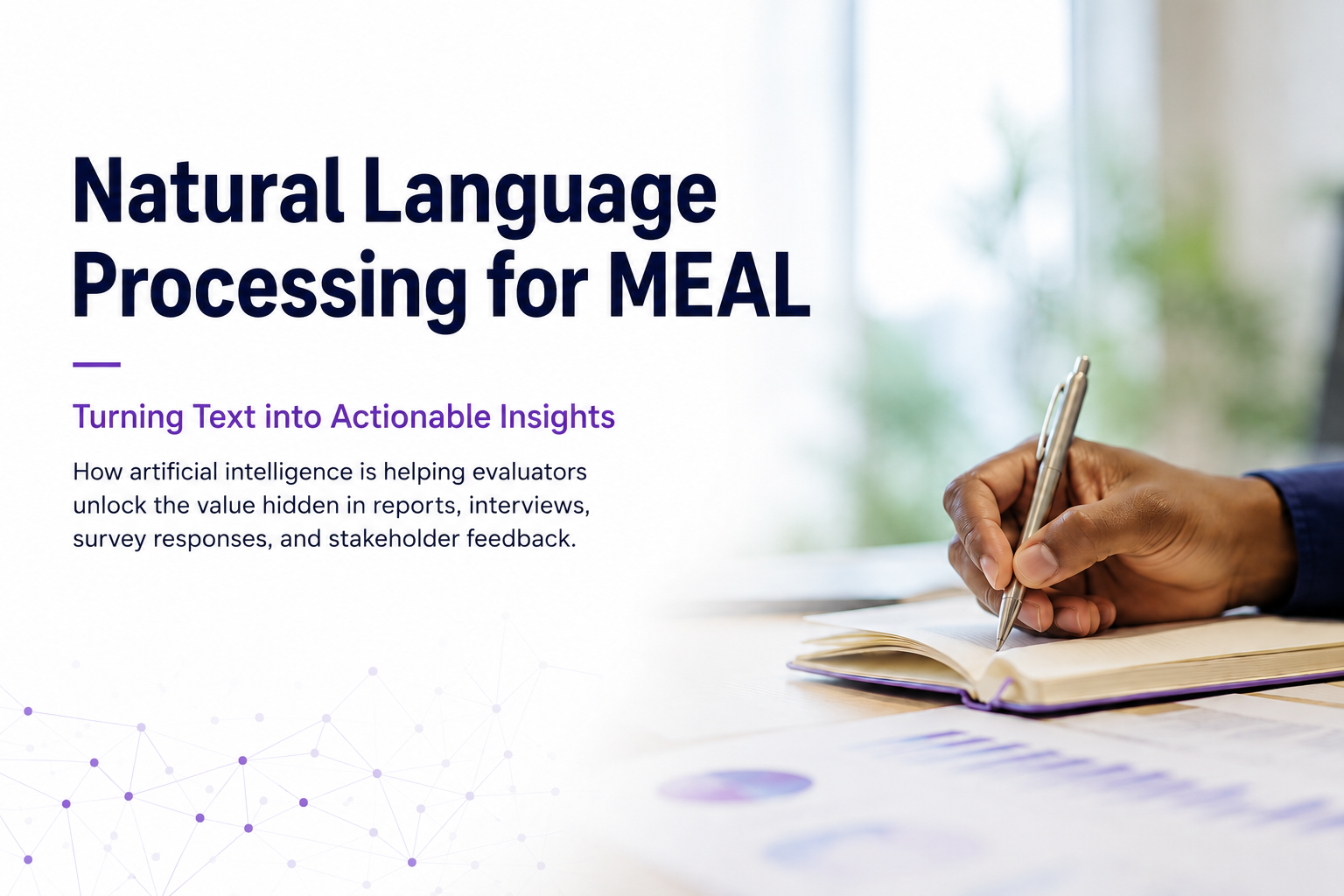
Natural Language Processing for Evaluation and ResearchWhat if the most valuable insights from your evaluations were hidden in plain sight? Discover how NLP helps uncover them.
View MoreApril 7, 2026
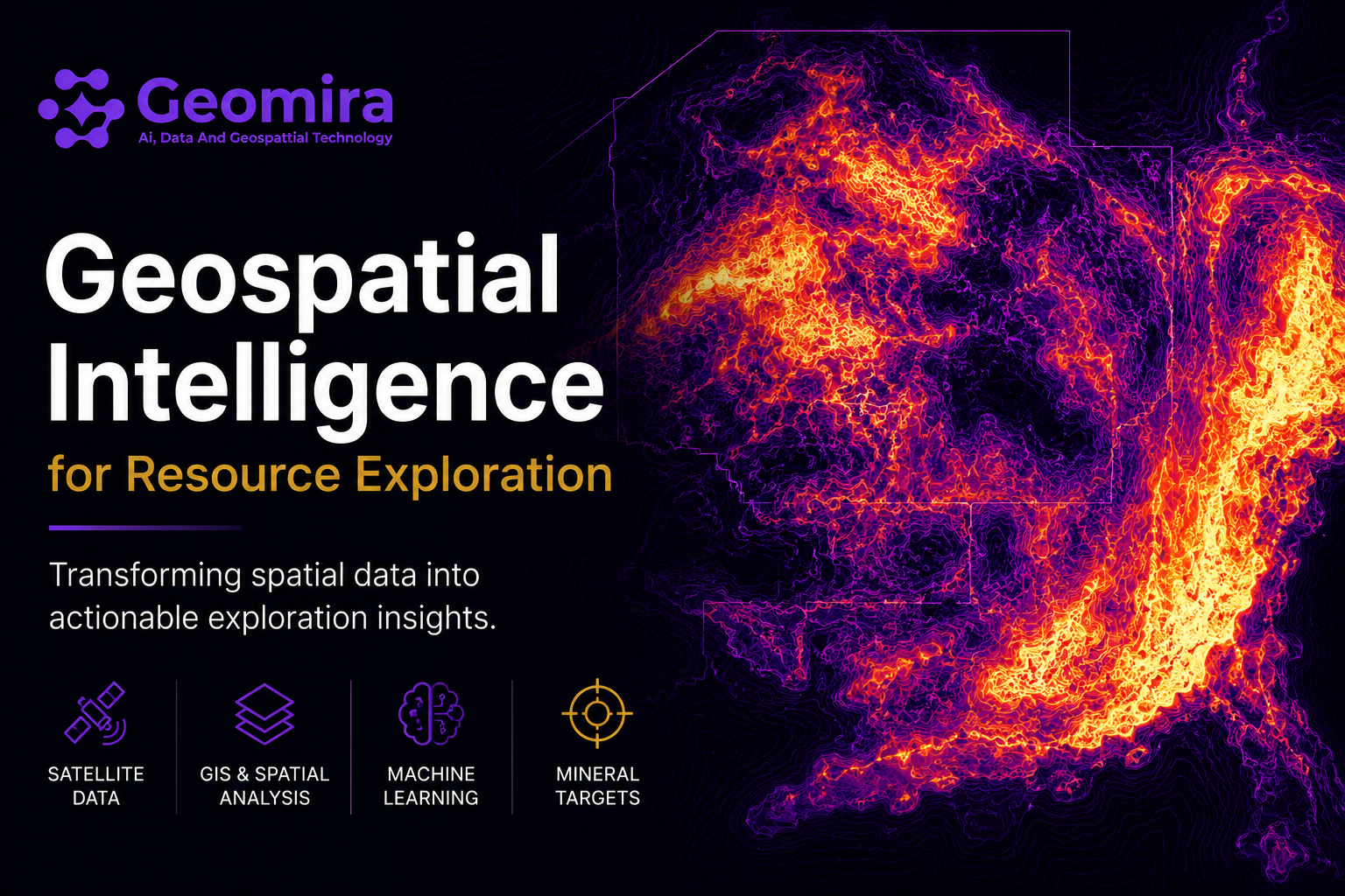
Geospatial Intelligence for Exploration and Decision-MakingDiscover how satellite imagery, GIS, machine learning, and spatial analytics help transform complex geospatial data into actionable exploration insights.
View MoreLet's discuss how we can support your decisions with evidence-based, decision-ready intelligence.
Contact UsRequest a Pilot Project


© 2026 Geomira LLC. All rights reserved.